The 60-second verdict
Quick answer: geologists can use an AI voice recorder for field logs when every spoken point remains anchored to a station, location, measurement, photograph and sample. Direct observation, working interpretation and competing hypotheses must remain separate, and all coordinates, figures and sample identifiers need verification.
Best fit: Geologists who need recoverable audio and human-verified notes in an authorised workflow. Use another method when: recording is prohibited, a participant declines or the approved process requires manual notes.
Evidence basis and limits
- Decision factors covered: Open every station clearly; Use an observation ladder; Keep facts and hypotheses separate.
- Evidence rule: Claims are weighted by consequence: capture failure, changed meaning, access and recovery matter more than polished wording.
- Boundary: Examples and workflow recommendations must be tested with representative recordings, the intended users and the actual approval process before rollout.
A fluent transcript is useful only when another geologist can trace the reasoning back to the exposure and source evidence. The recorder should strengthen provenance rather than hide uncertainty.

Open every station clearly
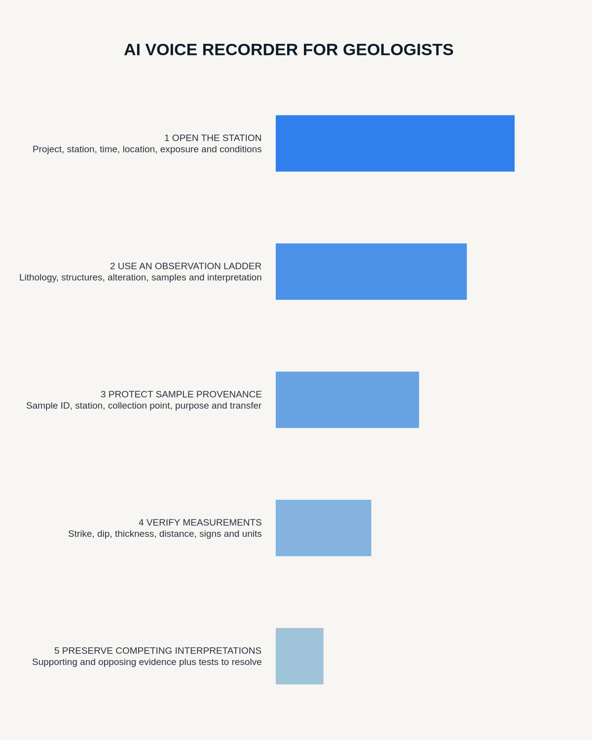
State the project, station ID, date and time, location method, exposure type, weather and access limitations. Reference the controlled coordinate system rather than relying on transcription as the only copy.
Use an observation ladder
- Describe lithology and visible characteristics.
- Record contacts, structures and orientation measurements.
- Describe weathering, alteration or mineralisation.
- State sample IDs and collection points.
- Label the working interpretation and alternatives.
- Record mapping, analysis or verification required.
Keep facts and hypotheses separate
Use explicit labels such as observed, reported, working interpretation, alternative explanation and to verify. A summary should not rewrite a tentative field hypothesis as established geology.
Create traceable sample provenance
For every sample, state unique ID, station and location, neutral material description, exact feature or interval, intended analysis and bag, label or transfer status. Verify the identifier visually before leaving the station.
Verify measurements independently
Strike, dip, thickness, distance and other values should be entered into the approved field record and checked against instruments or the notebook. Pay particular attention to numbers, signs and units.
Preserve competing interpretations
Record supporting and opposing evidence and the mapping, laboratory work, dating, microscopy or specialist review that could distinguish the alternatives.
Link photographs, sketches and maps
Speak image and sketch references and viewing direction. Verify orientation and location after the field session.
Use a stop-recording rule in the field
Dictation must never compete with situational awareness. Stop recording when moving over unstable ground, working near traffic, water, machinery or an exposed edge, or when weather, visibility or communication deteriorates. Follow the field plan, lone-working controls and emergency arrangements first. The HSE guidance on managing lone-working risks covers training, supervision, monitoring and emergency response that may need to form part of the field plan.
- Pause and make the location safe before handling the recorder.
- State a short placeholder such as “station G17 — detail to complete.”
- Capture measurements and sample identifiers in the approved field system.
- Complete the spoken narrative during a safe, structured debrief.
A missed sentence can be reconstructed from controlled field evidence. A safety-critical distraction cannot be justified by a more complete transcript.
Post-field workflow
- Transfer and preserve source files.
- Correct station, place and technical names.
- Verify measurements and sample IDs.
- Match photographs, sketches and maps.
- Separate observations and interpretations.
- Update the controlled geological record.
- Assign laboratory and mapping actions.
- Delete temporary audio under policy.
How NERALVO Halo fits
Check whether NERALVO Halo fits geologists work can support offline spoken logs and later DOWAY processing through NOTE mode, 64GB local storage and Bluetooth sync. Maps, samples, measurements and checked field records remain authoritative.
Cloud software, a dedicated recorder or manual notes?
For Geologists, the right answer changes with the setting. This matrix deliberately gives each method a situation where it can be the strongest choice.
| Situation | Best starting point | Reason |
|---|---|---|
| scheduled remote meetings | Cloud meeting software | Calendar automation and shared integrations are usually the strongest advantage. |
| in-person or mobile work | Dedicated recorder | Independent capture reduces reliance on an active phone or laptop. |
| recording is refused or prohibited | Manual notes or an approved alternative | The boundary takes priority over convenience. |
| mixed online and offline work | Governed hybrid | Use each method only in the setting it actually fits. |
Frequently asked questions
Can AI identify a formation from a voice note?
It may organise possibilities, but identification requires field evidence and professional analysis.
Can coordinates be trusted automatically?
No. Check them against the controlled mapping system.
Should alternative interpretations stay visible?
Yes, where uncertainty remains.
Useful resources
- British Geological Survey information
- AI Voice Recorder for Geotechnical Engineers
- AI Voice Recorder for Arborists
- Check whether NERALVO Halo fits geologists work
Final field-log checklist
- Every note linked to a station
- Measurements and samples verified
- Observations separated from interpretation
- Competing hypotheses preserved
- Maps and photographs matched
- Stop-recording safety rule applied
- Follow-up actions assigned
Bottom line: a valuable geological recording preserves the route from direct evidence to interpretation without hiding uncertainty or compromising field safety.
On this page
Related guides
See whether Halo fits this workflow
Review the NERALVO Halo specifications, included services, delivery information and current offer only after completing the guide.
Found an error or an out-of-date claim? Email support@neralvo.com with the article address and a supporting source.